We had the opportunity to travel for a bit on the old Rt. 66. Touched on it in and around Tulsa, but then drove for quite some time in a vertical Northeast direction out of Oklahoma, touching into Kansas, and traveling on to sleep in Missouri. Sometimes it was hard to tell where state and/or tribal lines where.


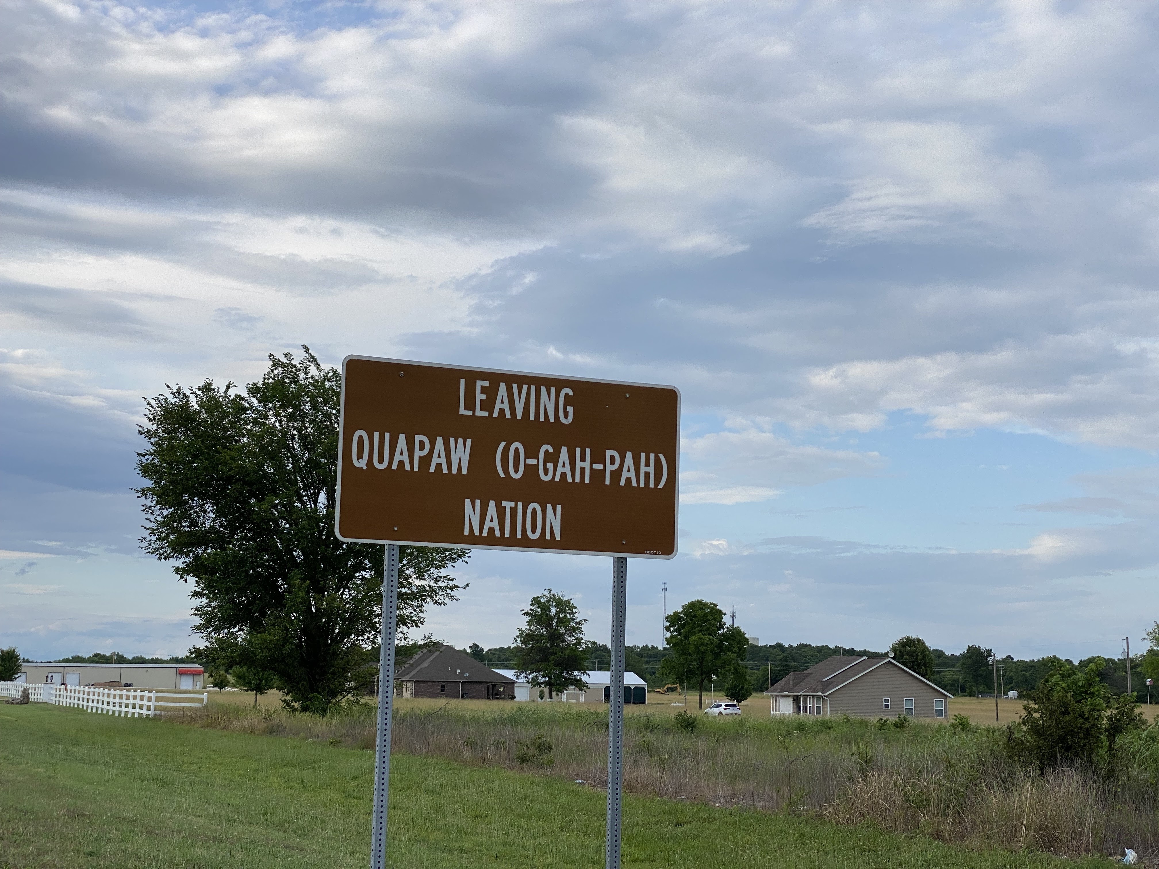
The Quapaw Nation and Quapaw town, we discovered are not one and the same.

Way off in the distance, even though the sign said we were leaving Quapaw (nation?/town?) we could see the huge casino that we thought was Quapaw run.

And sure enough, as we got closer we saw the name- the Downstream Casino Resort. "Downstream People" is what Quapaw people are known as.

O-Gah-Pah is how you say Quapaw in the tribe's language.

The Casino grounds were super clean and tidy.

But inside the cigarette smell made us feel pretty ill. It has been years since Massachusetts has allowed indoor cigarette smoking. In the bathroom at the casino I found these condoms, which gave me a chuckle.


This sign wasn't very helpful. I thought we had left Cherokee Nation a while back. The town Cherokee, OK is more Northwestern. Also, there are 14 places in the U.S.A. named Cherokee so we were a little confused. Let's try Cherokee County that should tell us something. Yup, ahuh, ok- there is Cherokee County in GA, and also in N.C., S.C. But there is also a Cherokee County in Kansas, so we were found!
In the nineteenth century, the nation’s focus was on the Missouri-Kansas border, where peoples with different definitions of freedom collided, inciting and fueling a Civil War.
- When Kansas was opened for settlement in 1854, a border war ensured, capturing the nation’s attention. The Kansas-Nebraska Act nullified the uneasy balance established by the Missouri Compromise and left the territory’s future slave status in the hands of settlers. The stakes were high for both sides. The violence of the Missouri/Kansas Border War ushered in the Civil War, consumed the region in bloody conflict through the war's end, and devastated communities on both sides of the border.
What is "Freedom's Frontier?" That was new learning for me. A place of a border war= do they teach about this border war in our New England history textbooks? I can't remember. Apparently right on the border of Missouri and Kansas, which is where we were there was a border war. "Bleeding or Bloody Kansas" the border war was called. It was rooted in the violent struggle to get Kansas to be a slave state (1854-1859), which didn't happen. Anti-slavery was the victor and Freedom's Frontier was born!
Freedom's Frontier National Heritage Area includes the sites of extraordinary events that forever changed America.


And just like that, there it was again. Of course we were back on good 'ole Route 66, and yes Dorothy, we were in Kansas!

Apparently we were in Baxter Springs, KS a small town right on the border. We did not see a rainbow bridge or even remember driving over any kind of water. It was likely a "crick" we cackled to each other, foolishly trying to adopt a prairie accent and pronounce "creek" the way we heard folks say it.


That about ended our Plains States Route 66 journey.
No comments:
Post a Comment